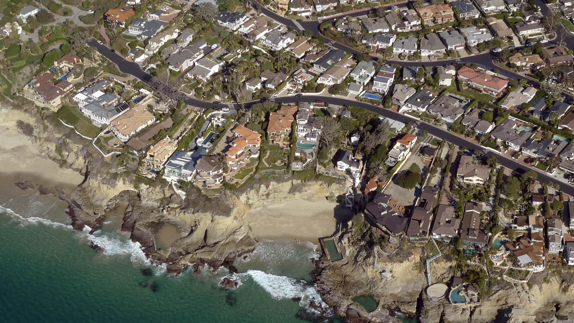
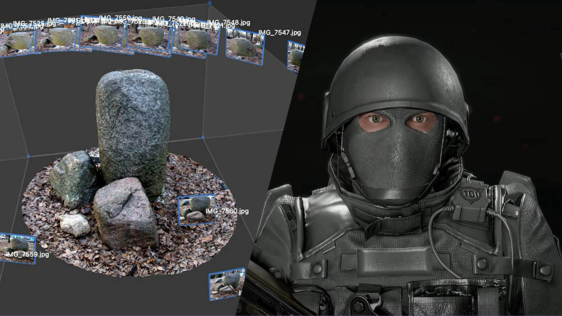
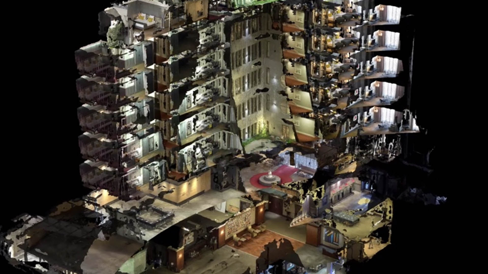
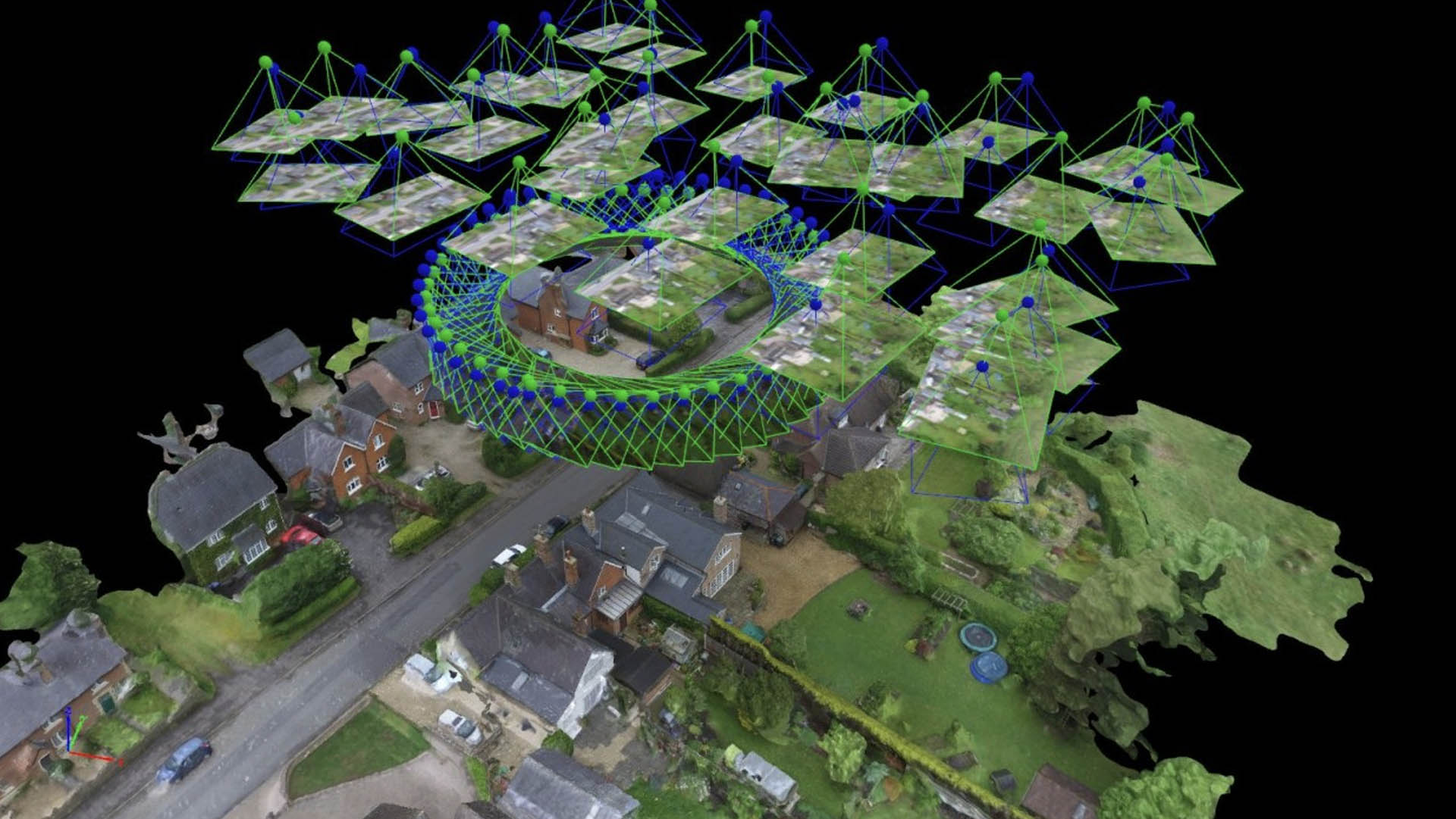
Photogrammetry is the science of making measurements from photographs. The input is a set of photographs; the output is typically a map, drawing, measurement, or 3D model of a real-world object or scene.
We push ourselves to learn continuously. We consider ourselves experts of today, meaning it's our duty to set the standard for tomorrow.
Our clients trust us to make the right decisions. We align on every decision and hold ourselves accountable for its success.
We form partnerships that last, going beyond data delivery to help clients put it to work effectively.
We're motivated to be the best. Our experience puts us in a strong position to set the standard.
It's our role to fit the right workflow to your project, backed by strong technical expertise as support.
Learning, improving and innovating are core values — a duty to meet the ever-changing demands of 3D data.
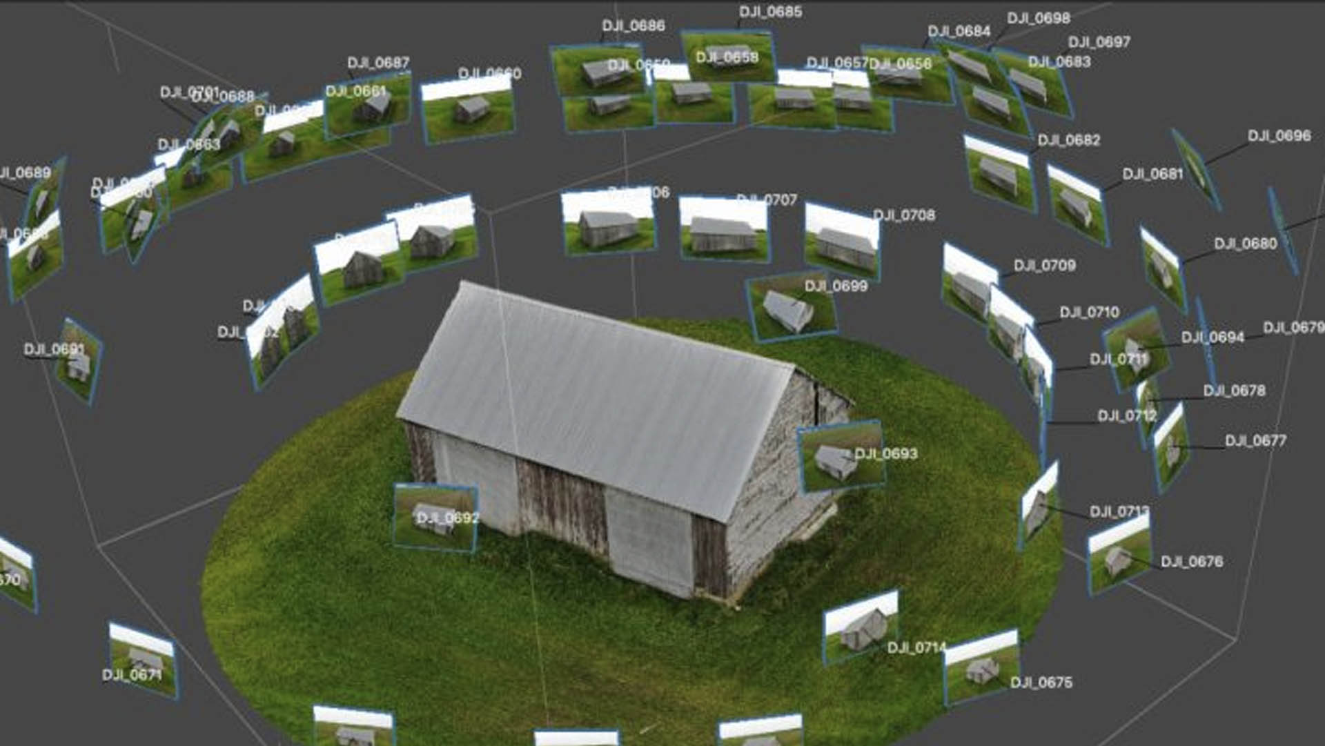
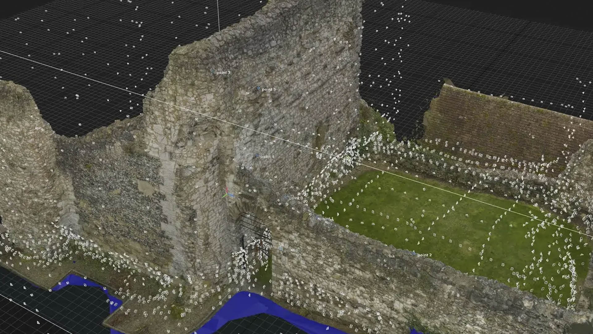
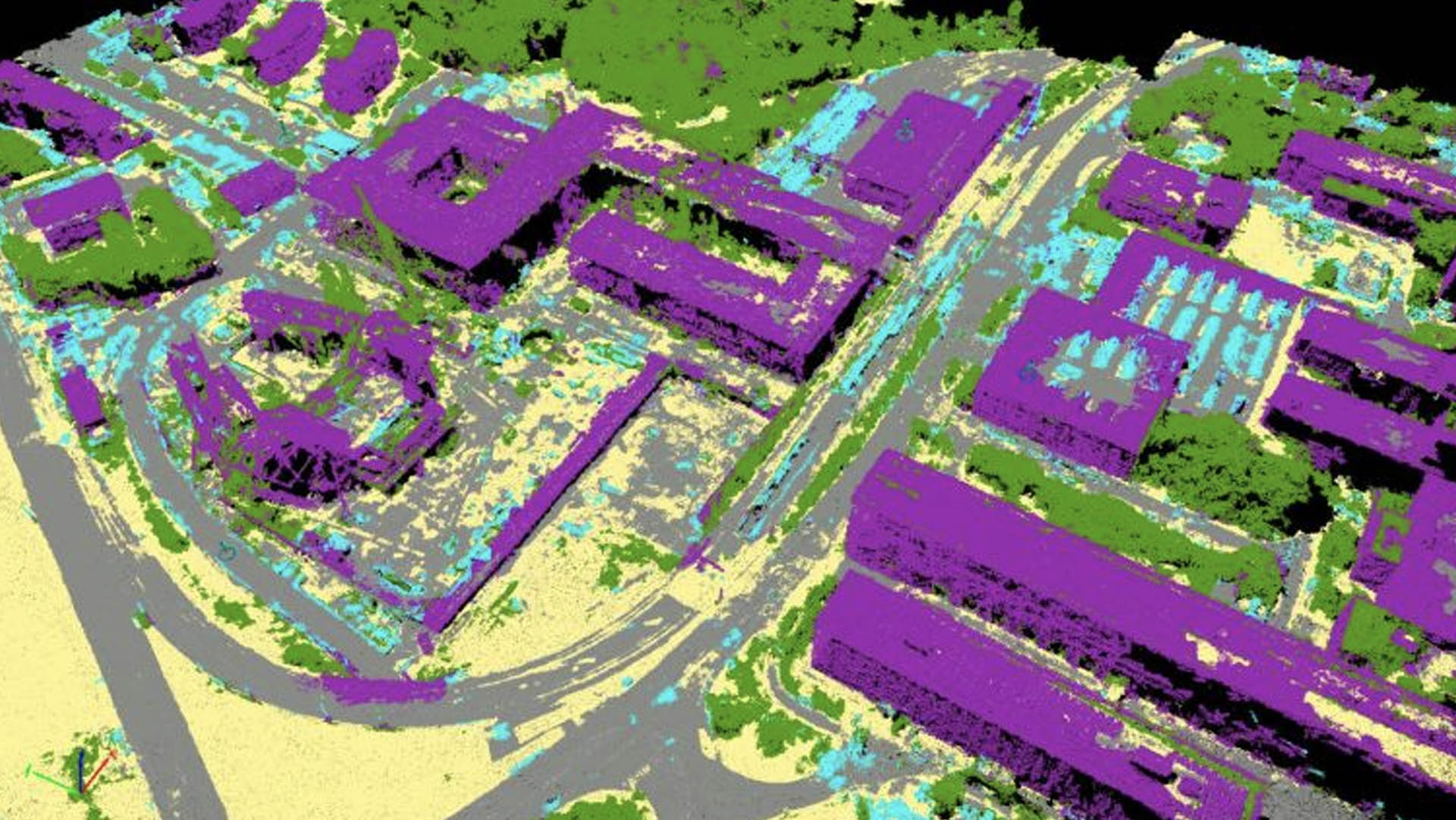
Numtech Geo Solution processes overlapping aerial and ground-based photographs using structure-from-motion techniques, generating dense point clouds, orthomosaics and textured 3D models. We maintain dedicated capacity to process high volumes of imagery, classifying points into vegetation, ground, structures and other classes to create accurate 3D terrain and as-built content.
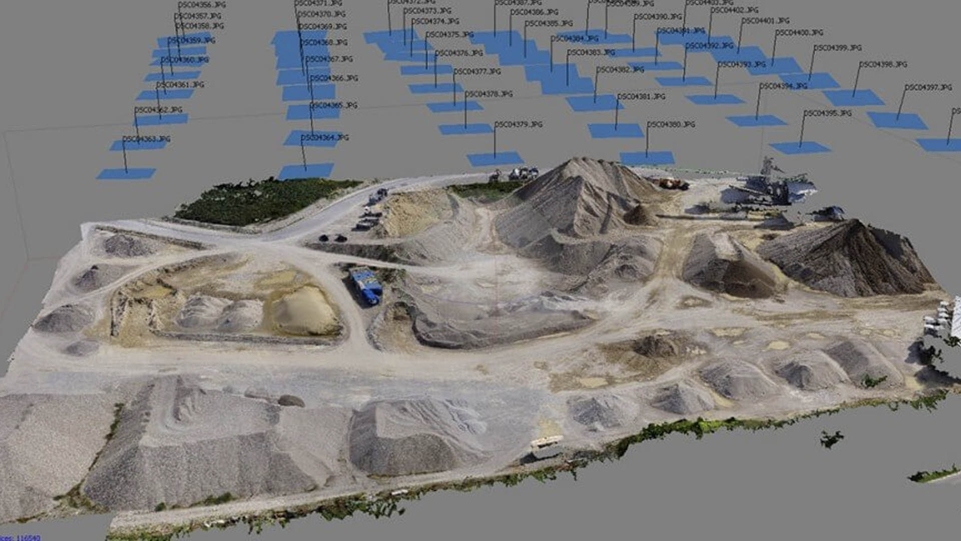
NUMTECH can meet the accuracy standards required for creating maps, applications and solutions across industries including Mining, Utilities and Urban Planning.
Discuss Your ProjectCapturing overlapping imagery via drone, aircraft or ground-based camera to match your accuracy needs.
Aligning images and ground control to build a precise geometric reference for the model.
Generating dense point clouds and 3D mesh surfaces from the aligned imagery.
Producing orthomosaics, DEMs and 3D models formatted for your GIS or CAD environment.