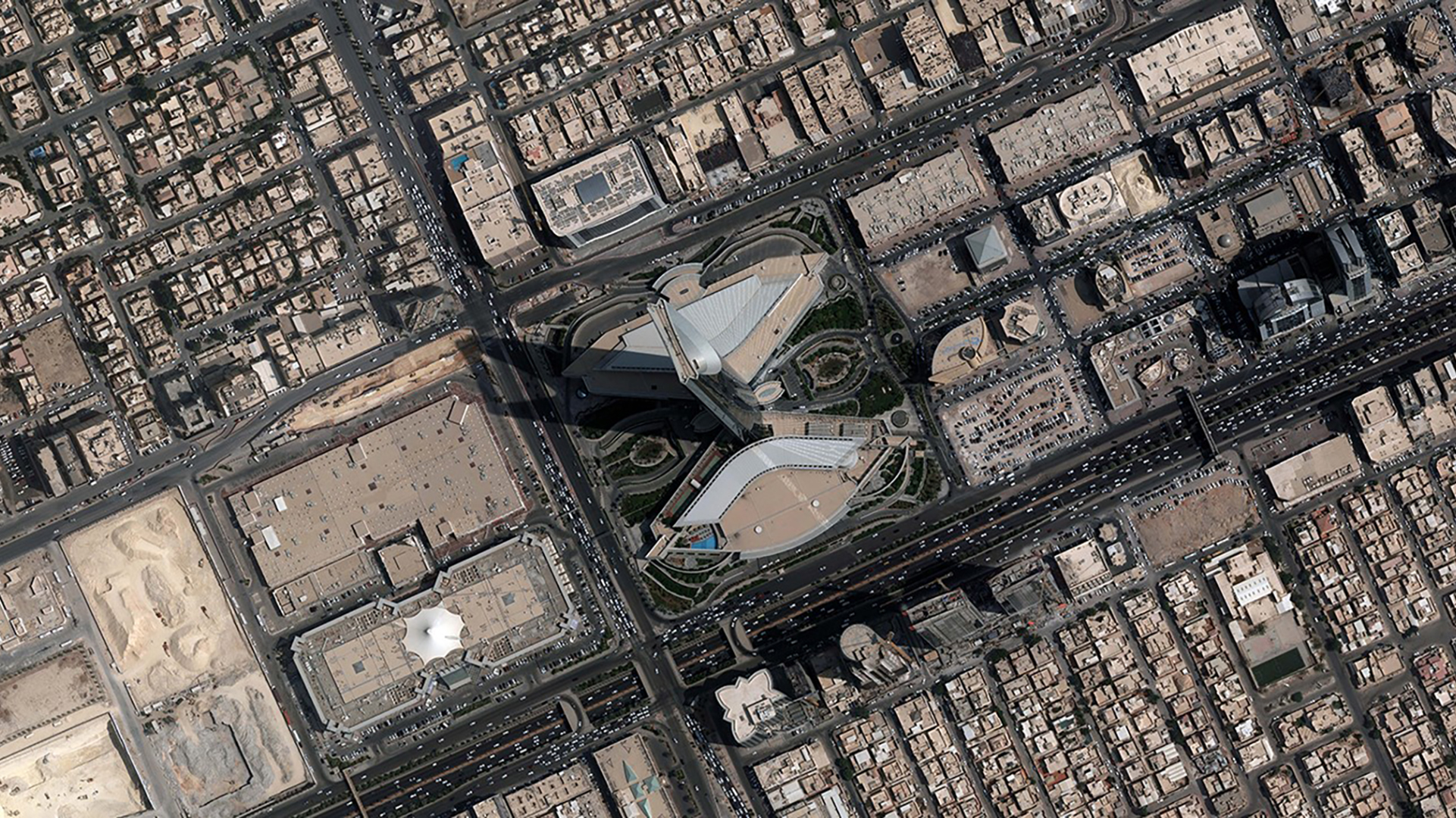
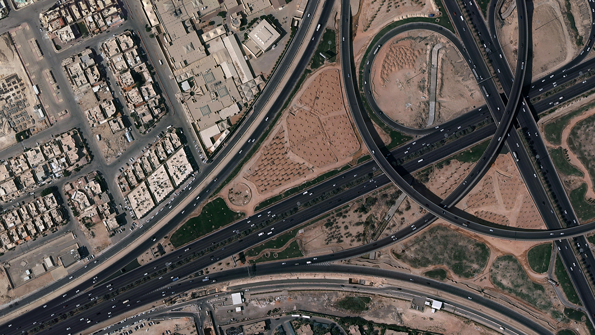
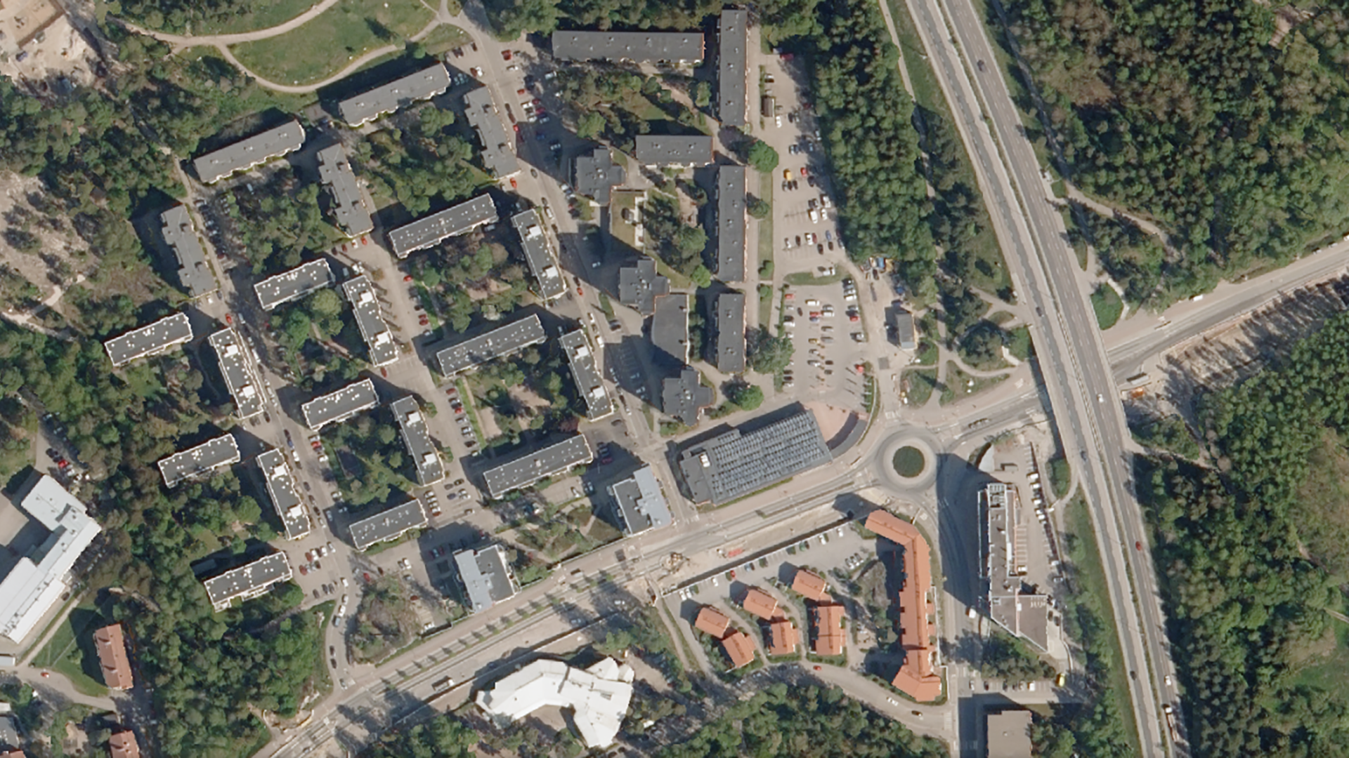
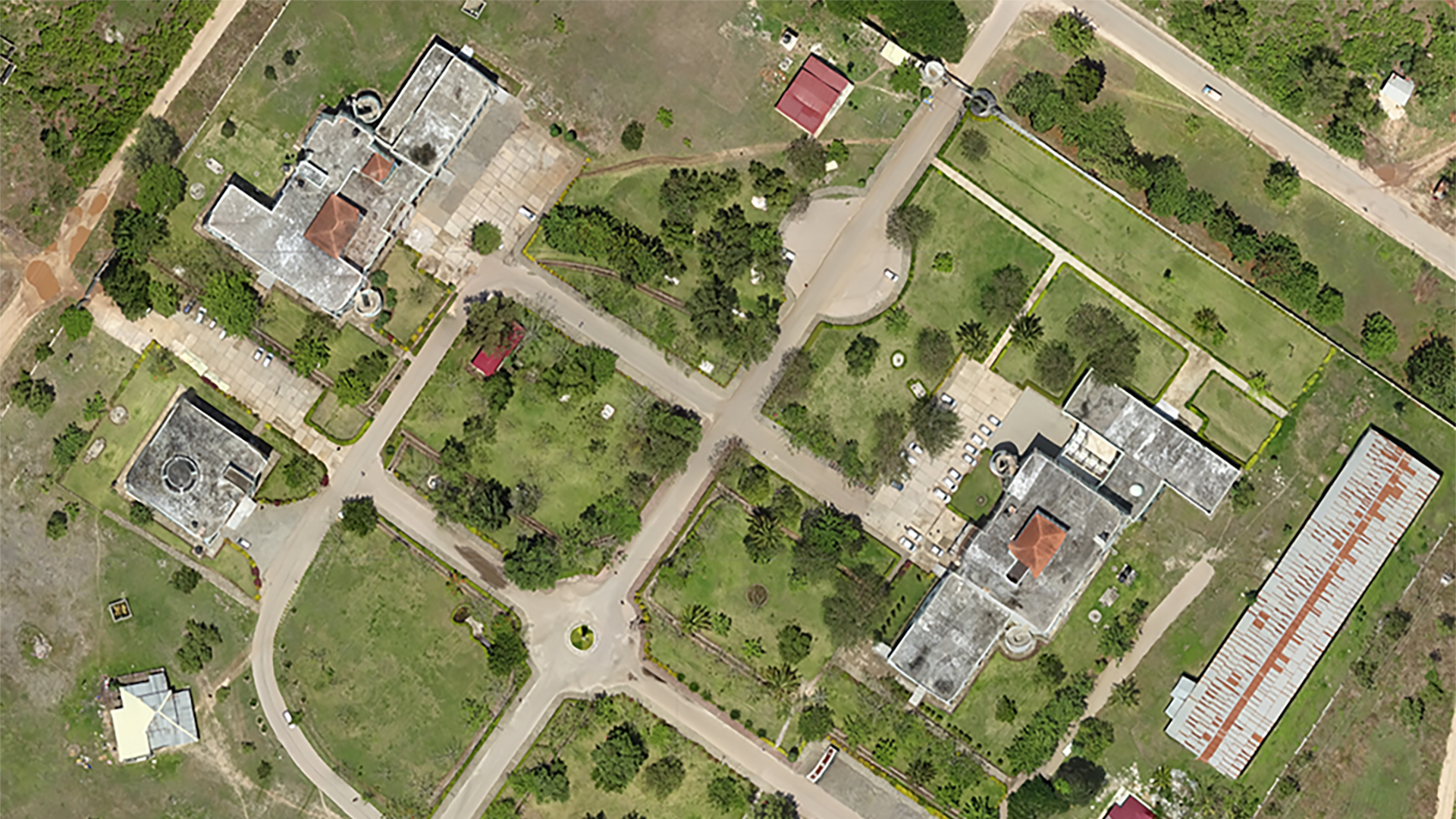
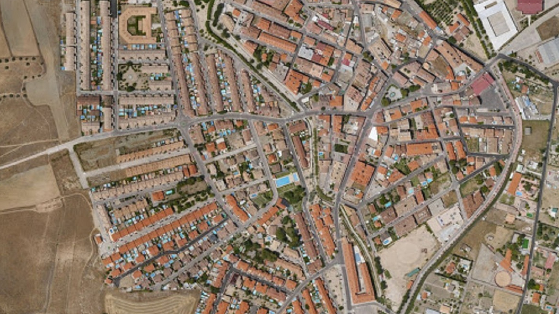
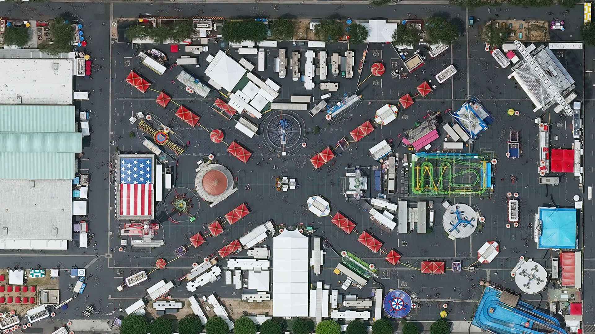
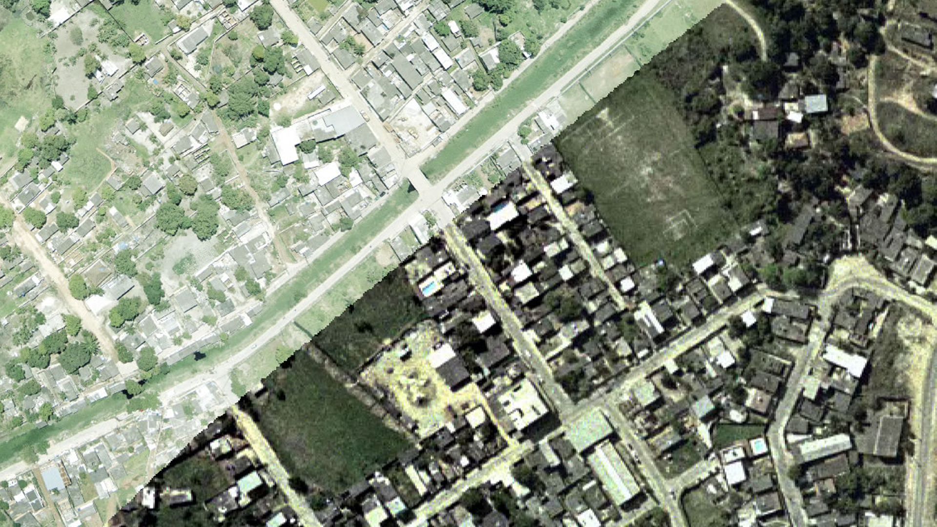
An aerial photograph or satellite image geometrically corrected so scale is uniform, following a given map projection.
An orthophoto (or orthoimage) is an aerial photograph or satellite image that has been geometrically corrected so its scale is uniform across the entire frame. Unlike a raw aerial photo, an orthophoto can be used to measure true distances, because it has been corrected for lens distortion, camera tilt and terrain relief.
Numtech Geo Solution produces high-accuracy orthomosaics used for planning, mapping and asset inventory across a range of industries.
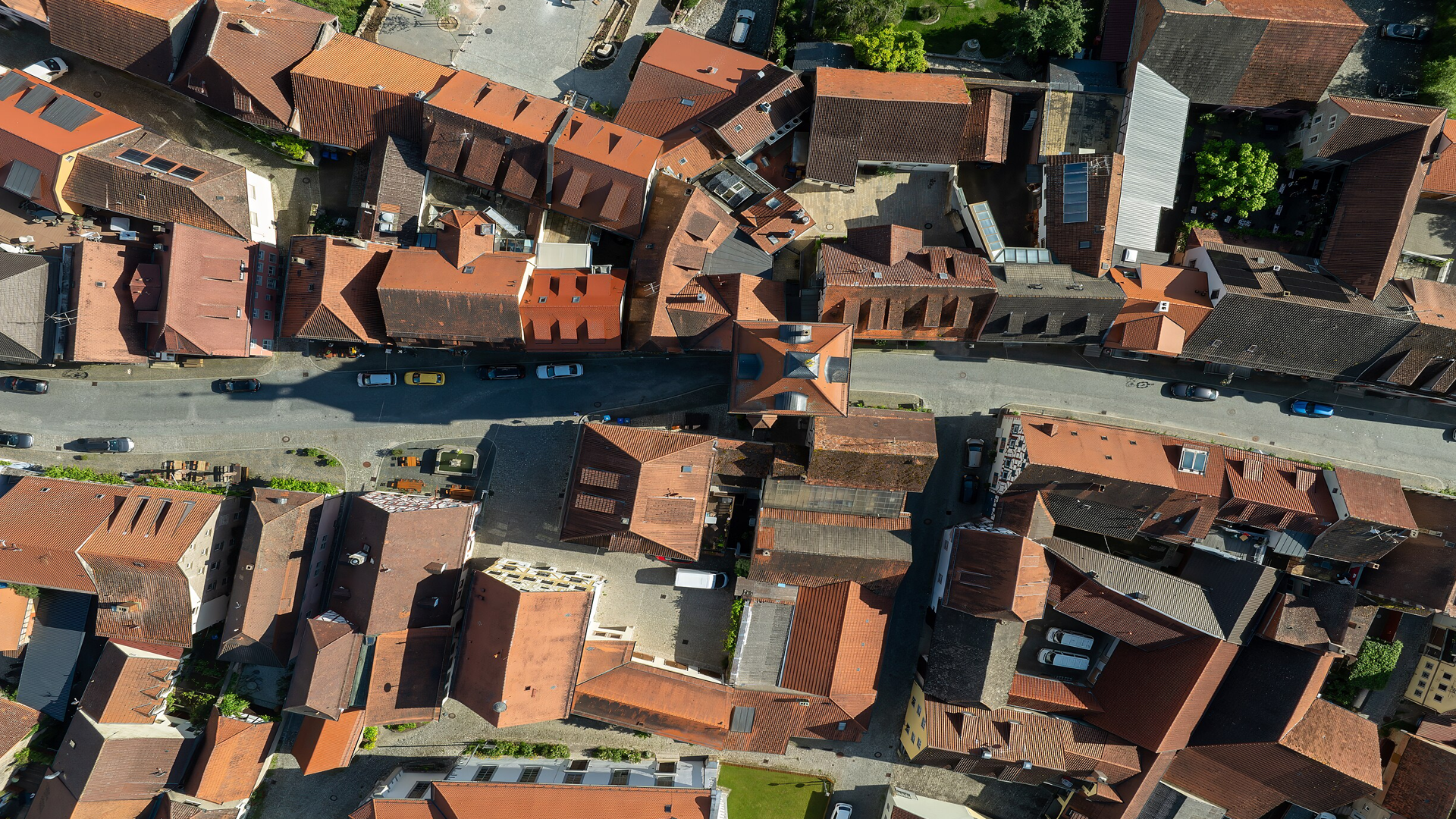
Accurate base imagery for zoning, parcel review and municipal planning.
Field-level imagery for crop monitoring and precision agriculture planning.
Site imagery for engineering design, progress tracking and as-built review.