Vehicle-mounted mapping systems for large-scale mapping projects.
Mobile mapping technology has evolved into a versatile tool used across diverse geospatial applications. It has transformed data acquisition, offering an efficient way to capture high-quality asset data and panoramic imagery.


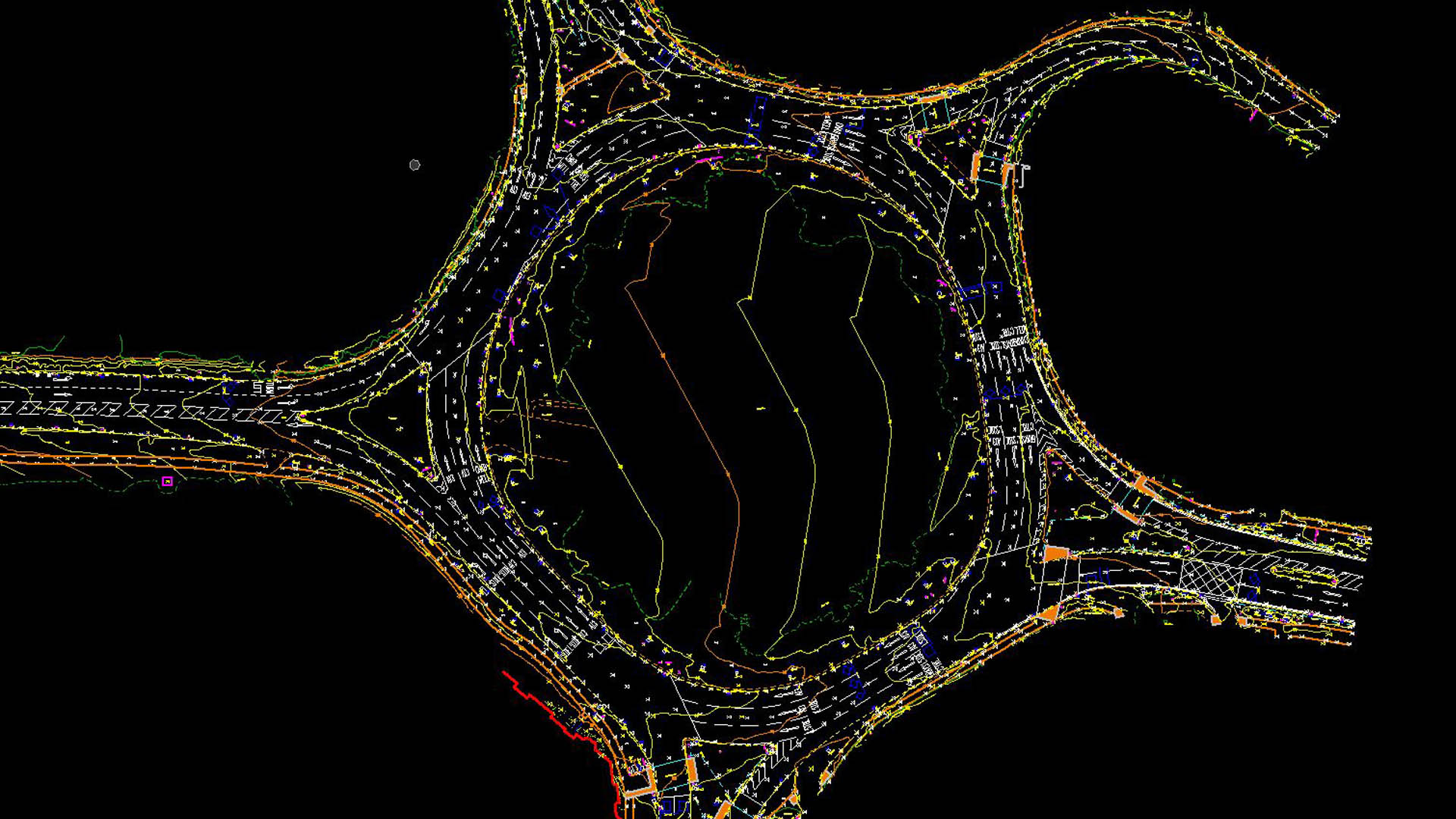
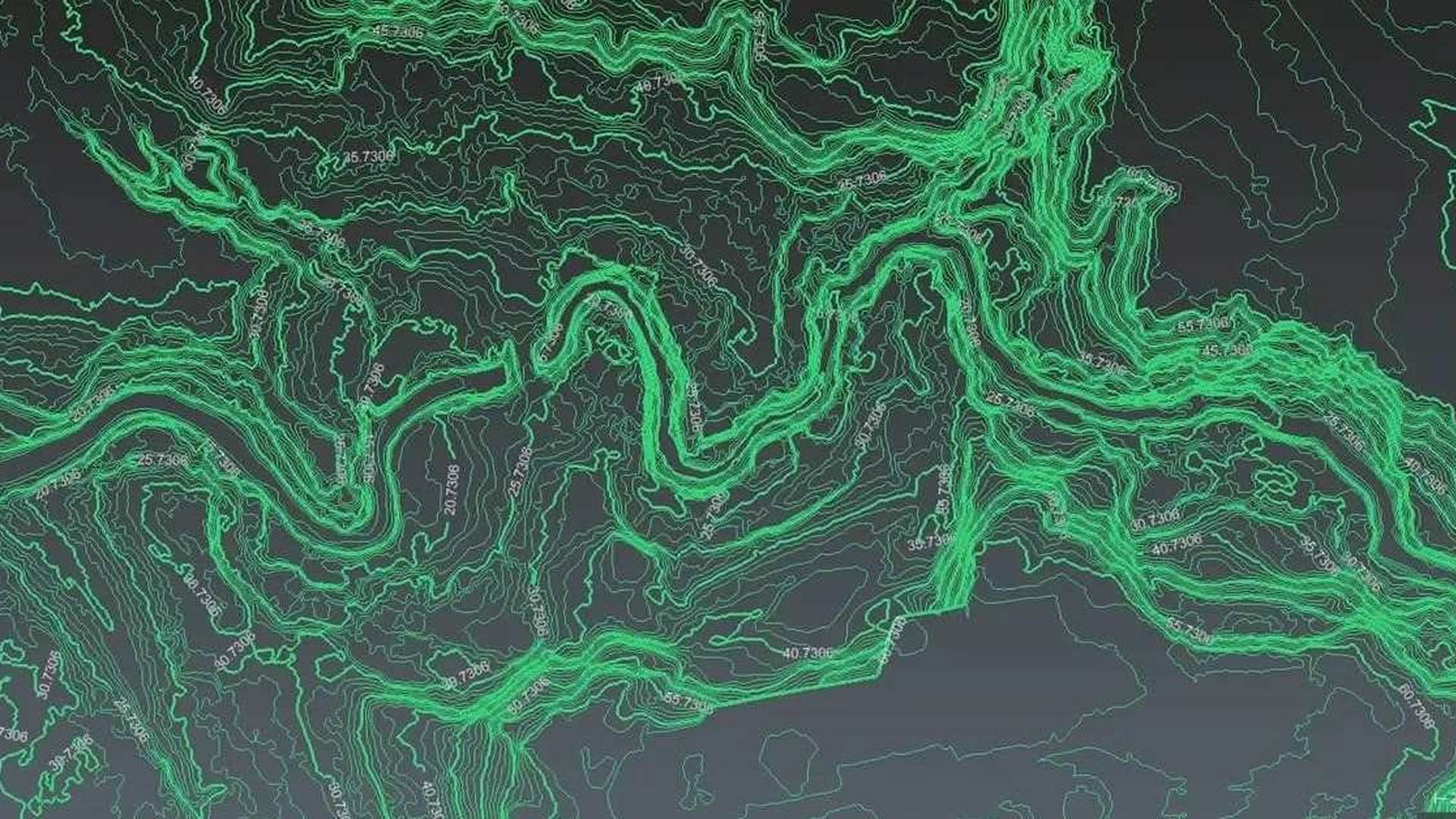
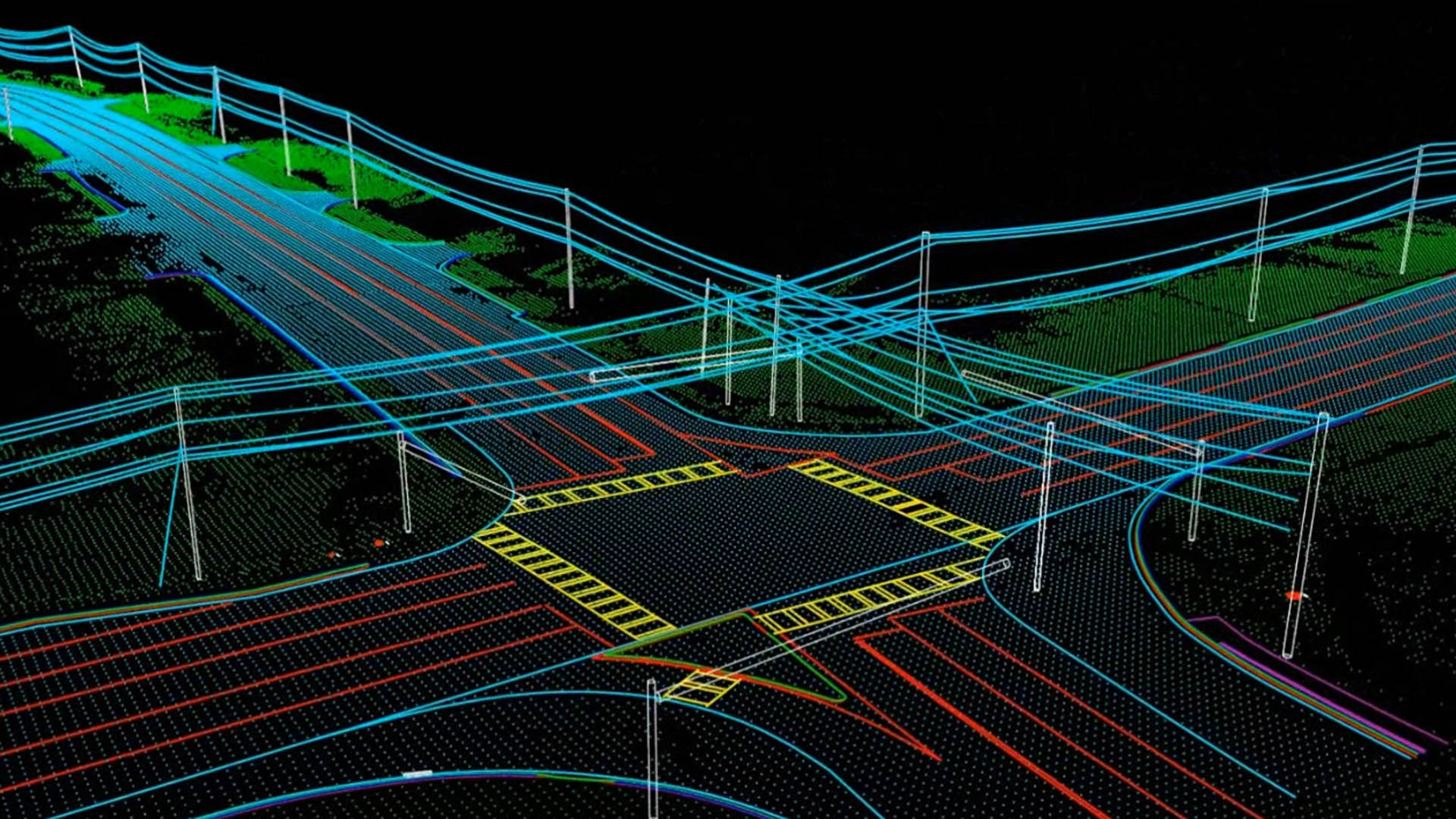
Numtech Geo Solution is a leading mobile LiDAR and mobile mapping solution provider. Mobile mapping is the process of collecting geospatial data from a moving vehicle, typically fitted with GNSS, photographic, radar, laser, LiDAR or other remote sensing systems. Outputs include GIS data, digital maps, and georeferenced images and video.
Pinpointing every underground and above-ground asset, optimizing maintenance schedules and extending infrastructure lifespans.
Real-time 3D models of active sites, streamlining workflows and improving on-site safety.
High-resolution imagery of entire ecosystems, supporting proactive protection of critical natural resources.
We map the drive route and select the right sensor combination for your required accuracy and asset coverage.
Our mobile mapping system collects GNSS-referenced LiDAR, imagery and video along the planned corridor.
Data is processed, classified and formatted into GIS-ready deliverables for your team.