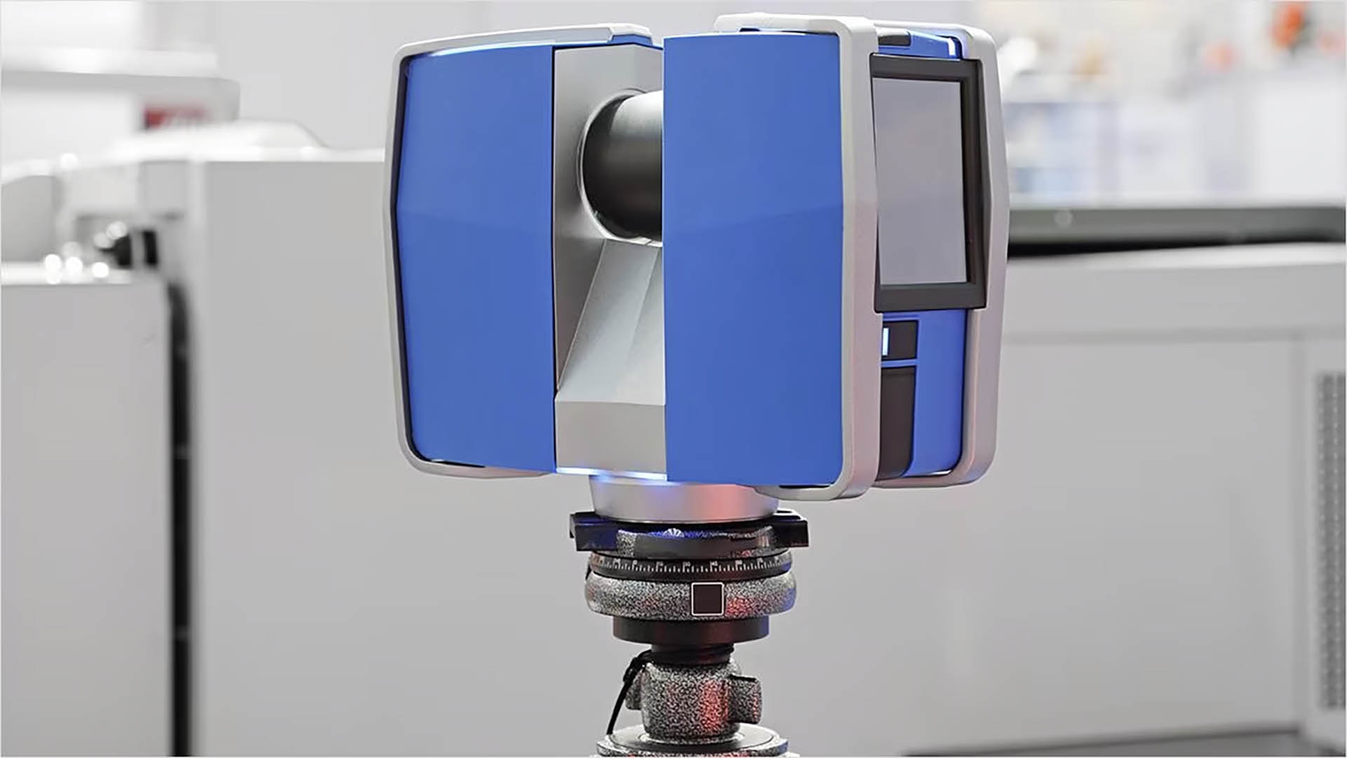
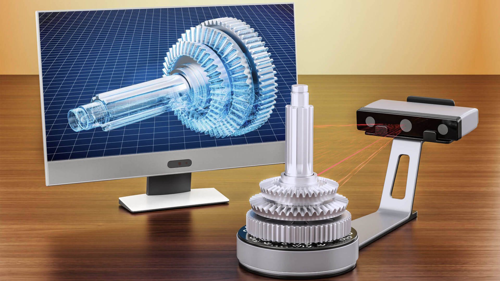
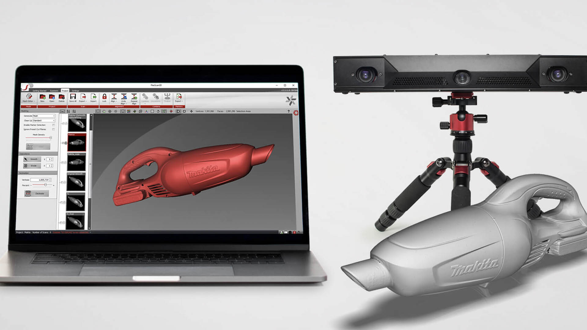
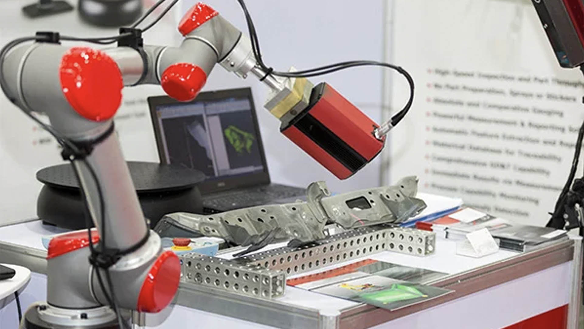
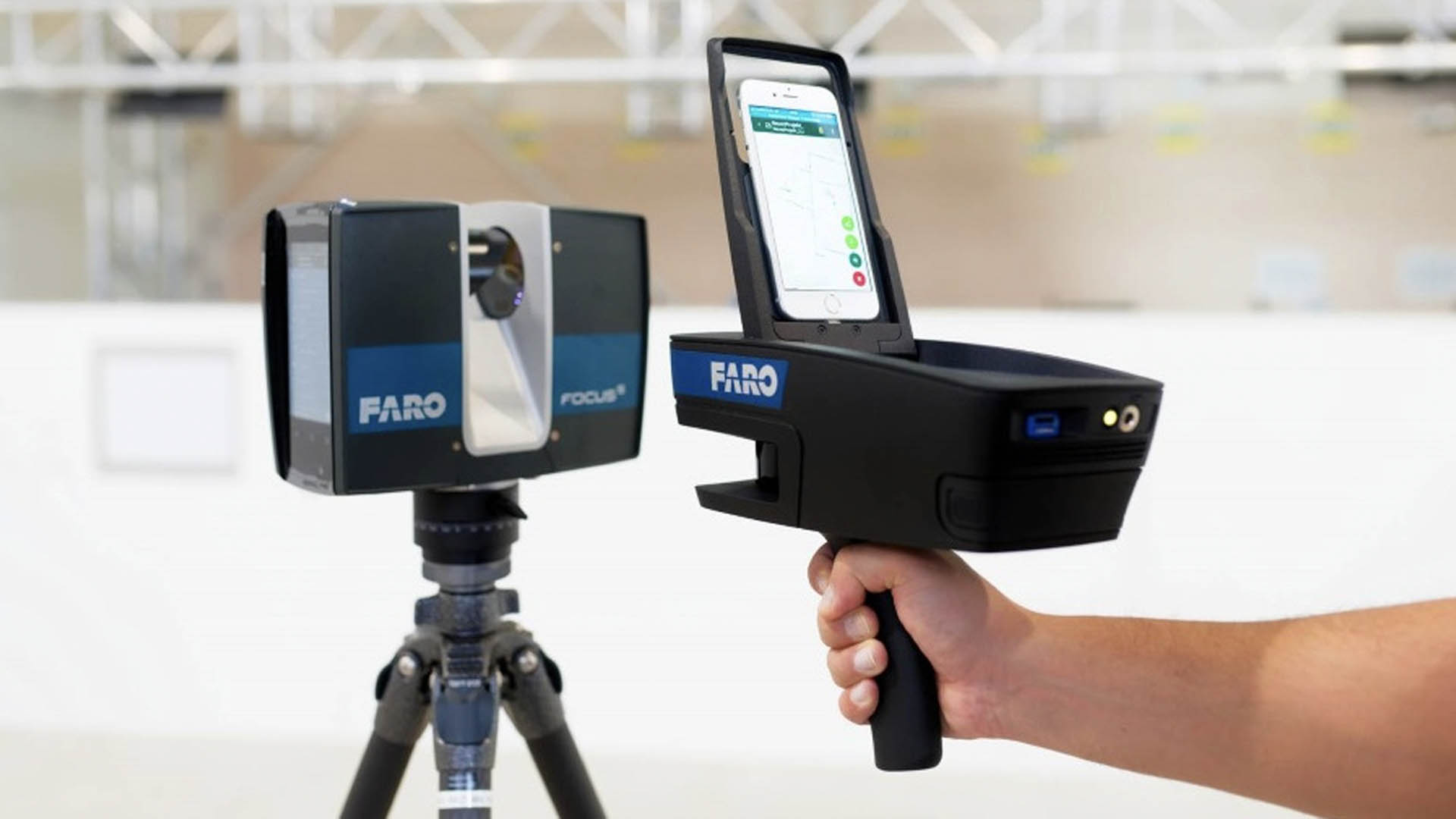
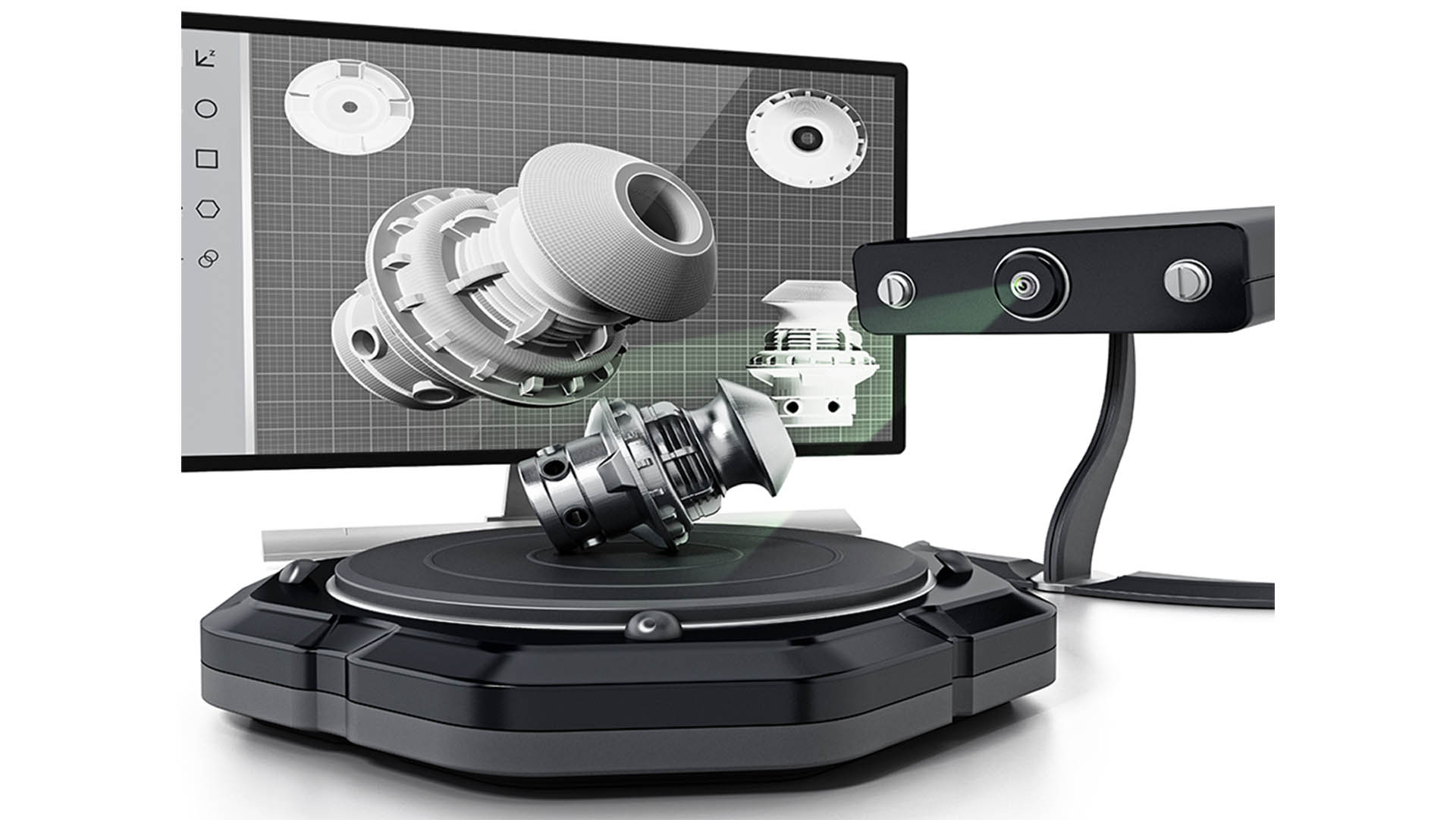
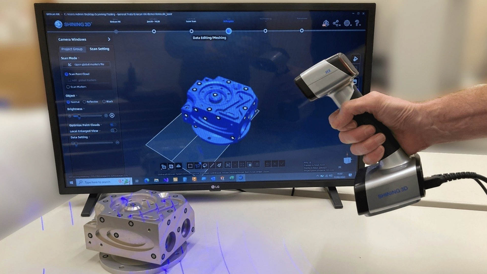
Laser scanners play a key role in quality assurance. 3D digital capture of shapes and surfaces using lasers is an effortless, precise process used for quality control, reverse engineering, fit and finish, and assembly applications.
Numtech Geo Solution provides 3D laser scan-to-BIM modeling services, maintaining dedicated capacity to process high volumes of dense scan data into accurate 3D terrain and as-built structural content. Given a point cloud and a user-defined set of classes (e.g. vegetation, ground, roofs, structural elements), our workflow classifies points by computing geometric attributes and minimizing a globally regularized energy — with each class defined as a combination of these attributes.
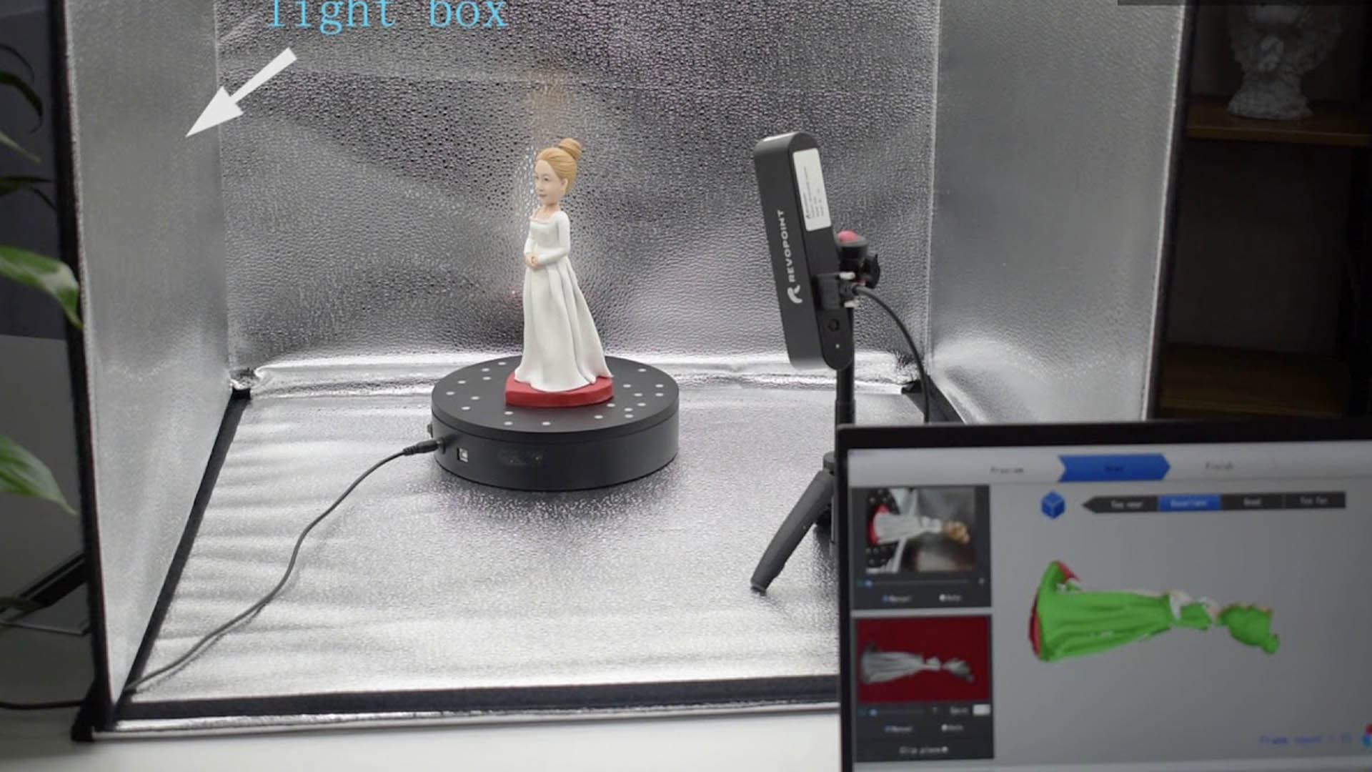
Extremely accurate measurements, ideal for applications where precision is critical — engineering, construction and manufacturing.
Scanners collect large volumes of data quickly, reducing risk when scanning tall structures and improving field staff safety.
Noninvasive scanning with no physical contact required — ideal for fragile, hazardous or hard-to-reach locations.
Detailed digital records of objects, buildings or landscapes, invaluable for preservation and historical archiving.
Scan data can be used to create realistic visualizations that aid design, analysis and communication of complex structures.
Integrated with BIM, scanning helps identify clashes between design plans and existing structures, reducing costly errors.