Orthophoto

An orthophoto, orthophotograph, or orthoimage is an aerial photograph or satellite imagery geometrically corrected such that the scale is uniform: the photo or image follows a given map projection.
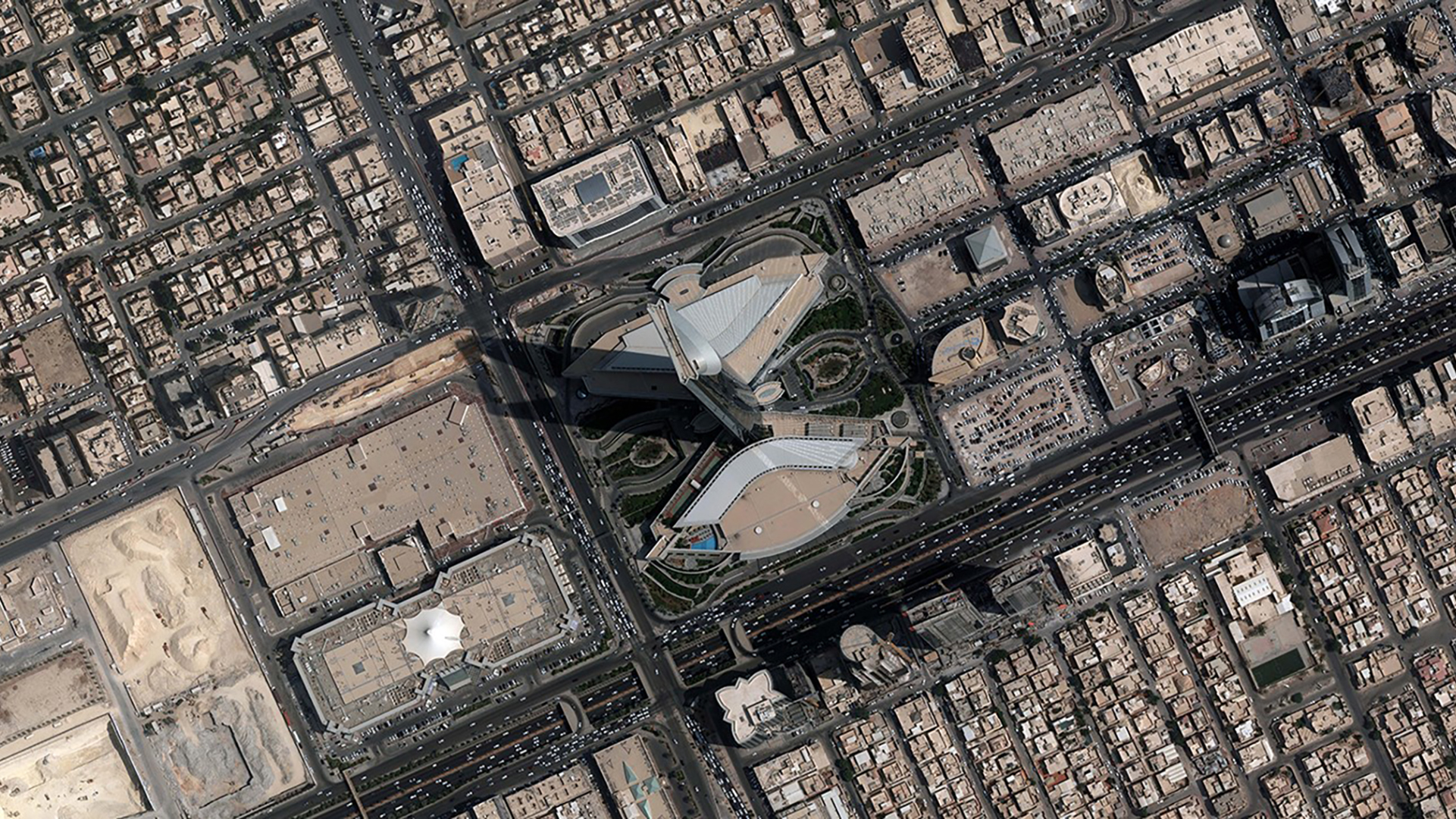
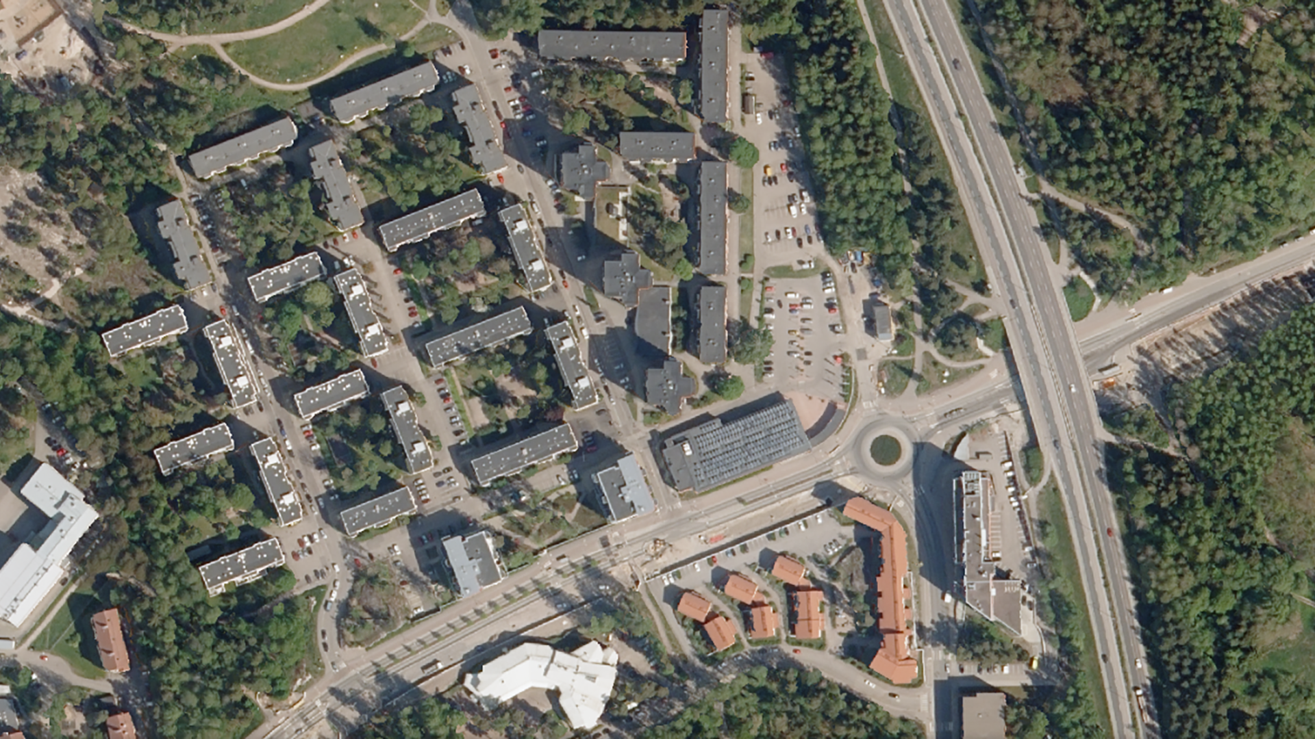
What is Orthophoto ?

An orthophoto, orthophotograph, or orthoimage is an aerial photograph or satellite imagery geometrically corrected such that the scale is uniform: the photo or image follows a given map projection.

Gallery

WHAT OUR CLIENTS HAVE TO SAY:

"Numtech provides unparalleled customer service that has not hardly been seen in any type of business in the last 20 years or more. From the start I got the feeling every employee we spoke with at Numtech cared about our organization and work. Numtech has taken a HUGE weight off our shoulders in administering our GIS system in the Cloud."
David Lower • GIS Analyst
Green Valley Water
"The Numtech team have been a dream to work with compared to other vendors. They are very responsive, thorough in the processes and very agile in standing up new environments or reconfiguring existing. They are an all-around great company."
Kevin Lopes • Director of Geospatial Technologies
MassDOT

Clients We Work With

Ready to Get Started?

Whether you’re looking to revolutionize an existing application or need assistance with an upcoming project, we can help. Our knowledge spans beyond the point of implementation !