
NUMTECH geo solution provides photogremetry (Light Detection and Ranging) data processing services for various industries & maintains a dedicated capacity to process high volumes of highly dense LiDAR data to create every accurate 3D terrain and as built structural content. Given a point cloud and a user-defined set of classes (e.g. vegetation, ground, roofs, etc.), the algorithm classifies the points by computing a set of geometric attributes and minimizing a globally regularized energy. Each type (vegetation, ground, roof) is defined as a linear combination of these attributes !

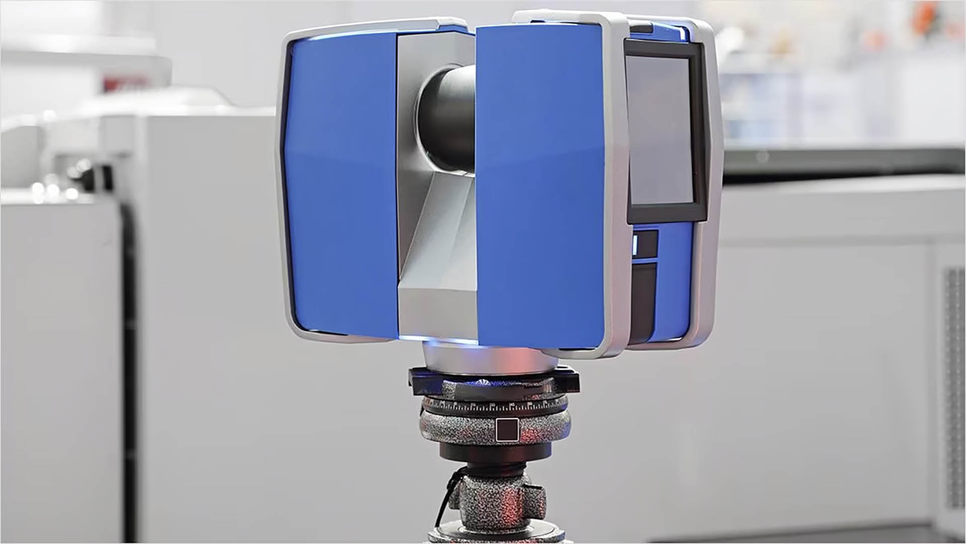
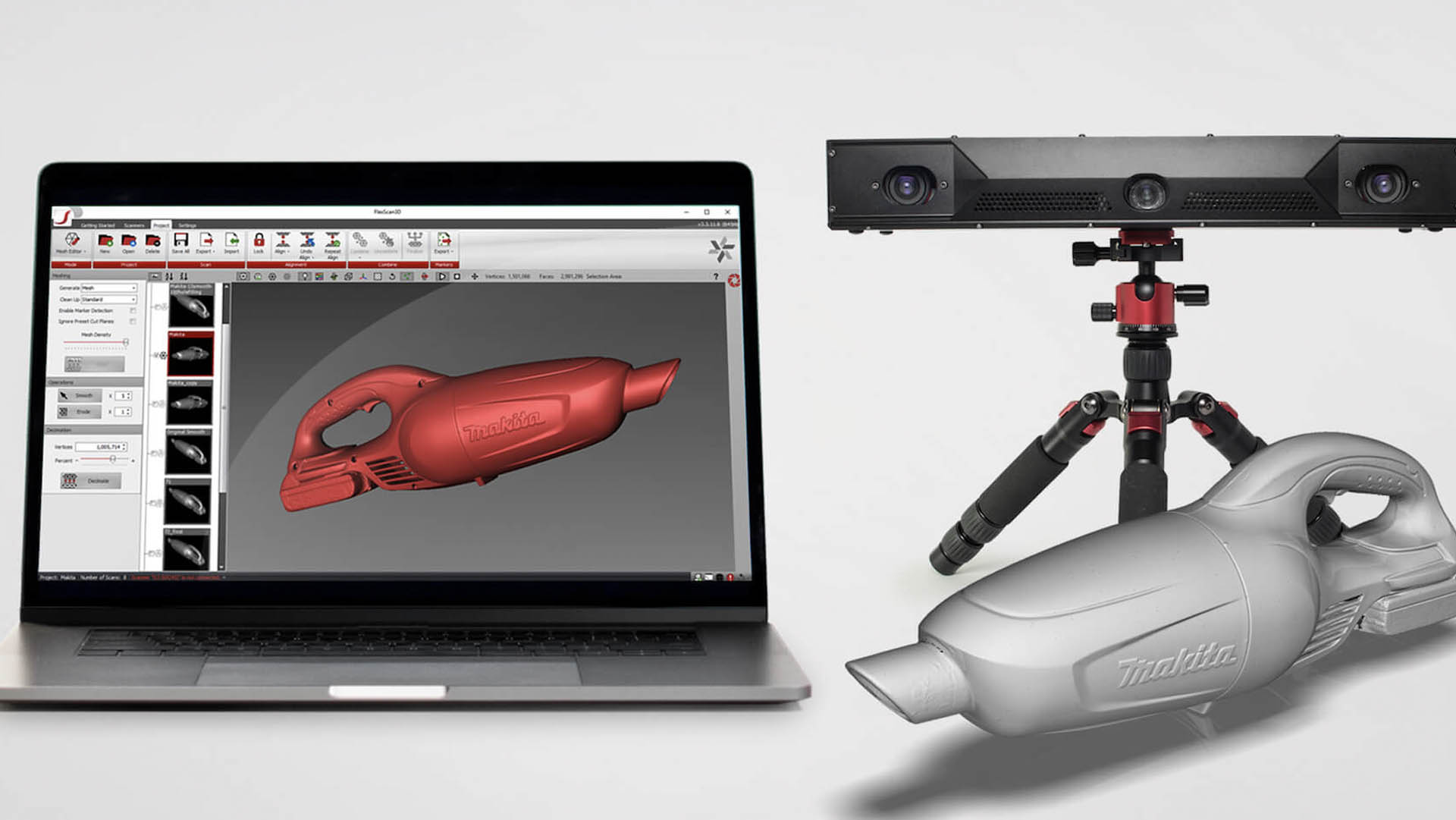
3D laser scanning has become an indispensable tool across many industries due to its ability to capture highly detailed and more accurate 3D data. Here are some of the key benefits of 3D laser scanning:

Laser scanning provides extremely accurate measurements, making it effective for applications where precision is critical, such as engineering, construction, and product manufacturing.
Laser scanners can quickly collect a large amount of data, reducing the risk associated with scanning high buildings and improving field staff safety.
Laser scanning is noninvasive and doesn’t require physical contact with the object or environment being scanned, making it ideal for fragile, hazardous, or hard-to-reach locations.
Laser scanning creates detailed and comprehensive digital records of objects, buildings, or landscapes, which are invaluable for preservation and historical archiving.
Data from 3D laser scans can be used to create highly realistic visualizations, aiding in the design, analysis, and communication of complex structures and spaces.
When integrated with building information modeling (BIM), laser scanning helps identify clashes between design plans and existing structures, reducing costly construction errors.
WHAT OUR CLIENTS HAVE TO SAY:







Whether you’re looking to revolutionize an existing application or need assistance with an upcoming project, we can help. Our knowledge spans beyond the point of implementation !
Kshetriyabarpur(college square)
Gangapur, Ganjam, Odisha, 761123, INDIA.
Email: numtechgeosolution@gmail.com
Phone: +91 6371270737
General Shift : 9am to 6pm, Monday to Saturday