
Mobile mapping technology has evolved from an emerging technology to a versatile tool employed in diverse geospatial applications. It has revolutionized data acquisition methods, offering an efficient approach to capturing high-quality asset data and panoramic imagery.

Numtech geo solution is a leading mobile lidar and mobile mapping solution provider. mobile mapping is the process of collecting geospatial data from a mobile vehicle, typically fitted with a range of gnss, photographic, radar, laser, lidar or any number of remote sensing systems. the primary output from such systems include gis data, digital maps, and georeferenced images and video.
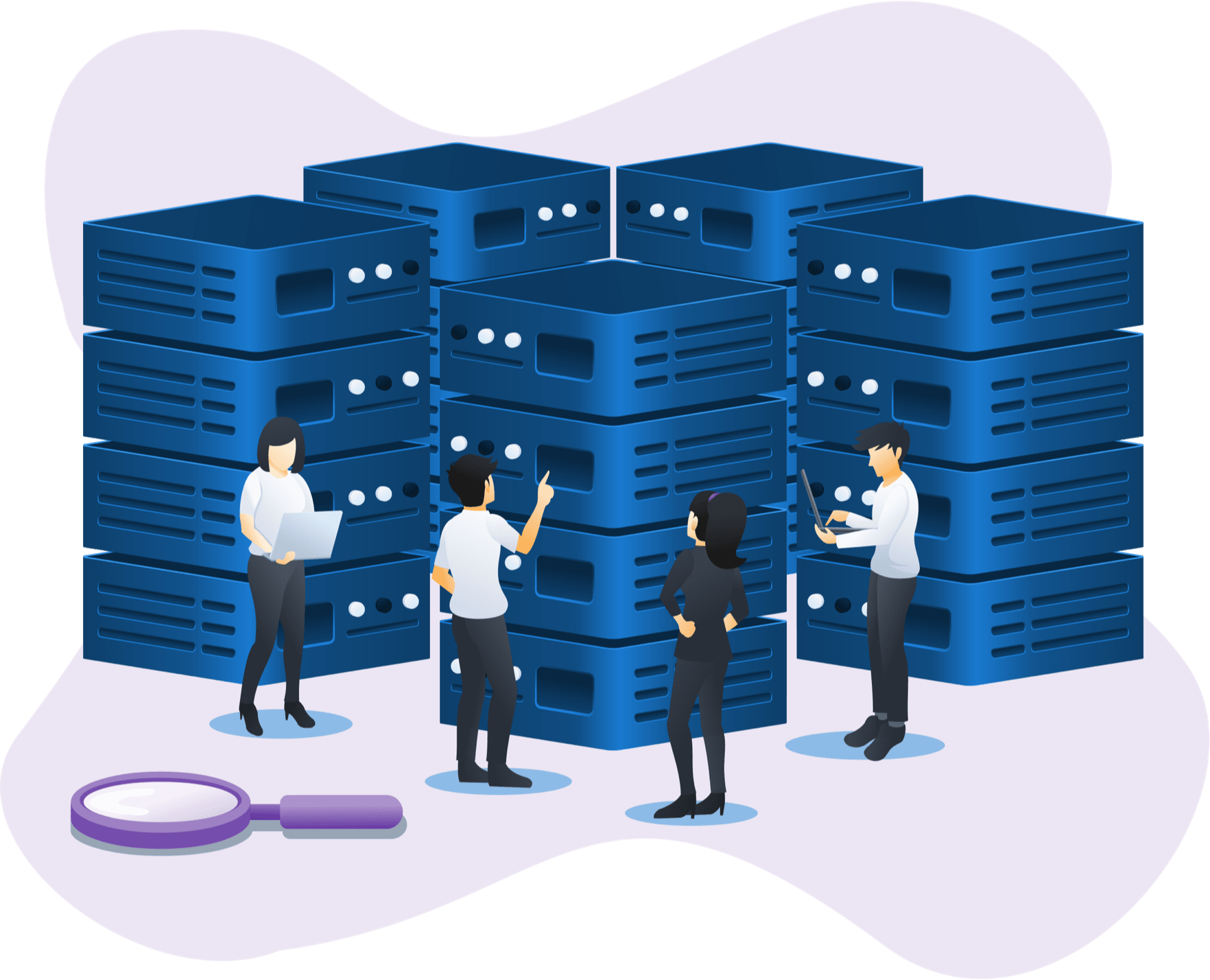
Mobile mapping has transcended its role as a mere data capture tool. Today, it empowers various industries with actionable intelligence, leading to real-world transformations. Utilities pinpointing every underground asset, optimizing maintenance and extending lifespans. Construction sites leverage real-time 3D models, streamlining workflows and ensuring safety. Environmental agencies monitor entire ecosystems with high-resolution imagery, taking proactive measures to protect critical resources.
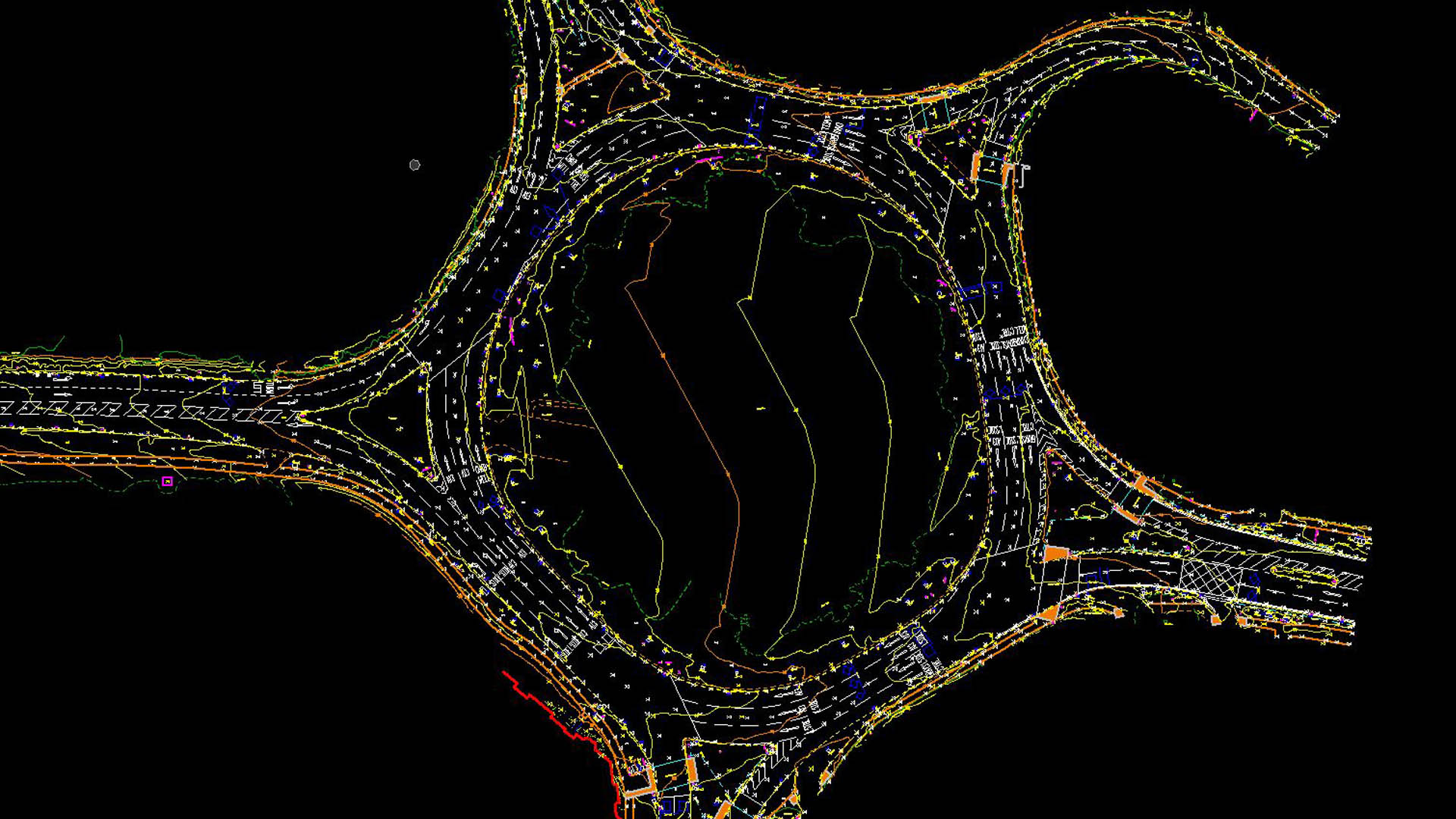

WHAT OUR CLIENTS HAVE TO SAY:





Whether you’re looking to revolutionize an existing application or need assistance with an upcoming project, we can help. Our knowledge spans beyond the point of implementation !
Kshetriyabarpur(college square)
Gangapur, Ganjam, Odisha, 761123, INDIA.
Email: numtechgeosolution@gmail.com
Phone: +91 6371270737
General Shift : 9am to 6pm, Monday to Saturday