We push ourselves to learn continuously. We consider ourselves the experts of today, meaning it’s our duty to set the standard for tomorrow.
Our customers trust us to make the right decisions. We align on each decision and hold ourselves accountable for its success.
We form partnerships that last. Our services go beyond providing leading SDKs — we also offer the expertise to implement them effectively.
We’re always motivated to be the best. Our experience in the industry puts us in the fortunate position to set the standard.
It’s our role to provide SDKs to suit your workflow alongside strong technical expertise as support. We’re your constant helping hand behind the scenes.
Learning, improving and innovating are core values for Spatial. We have a duty to our customers to meet the ever-changing demands of creating 3D applications.

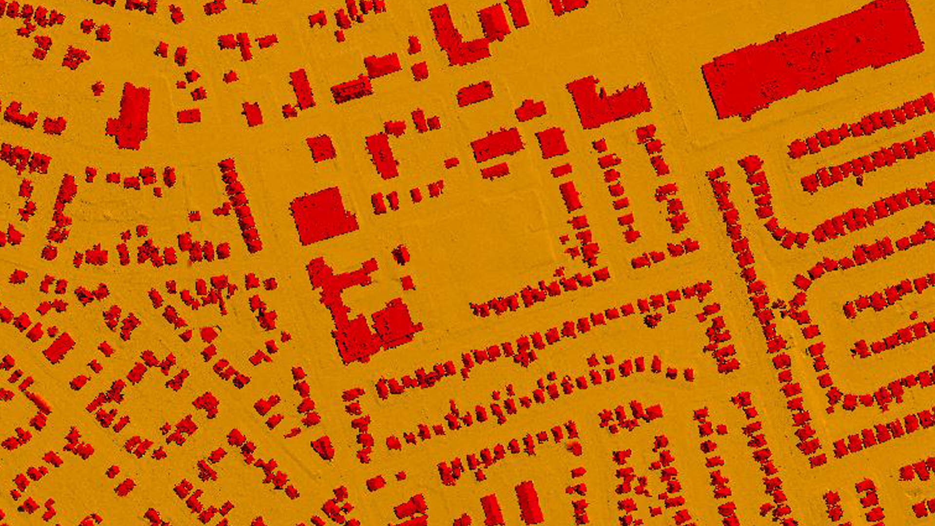
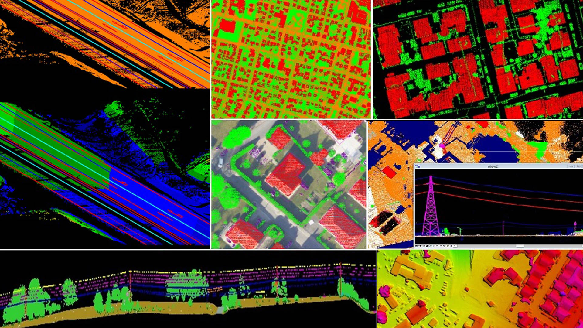
NUMTECH geo solution provides LiDAR (Light Detection and Ranging) data processing services for various industries & maintains a dedicated capacity to process high volumes of highly dense LiDAR data to create every accurate 3D terrain and as built structural content. Given a point cloud and a user-defined set of classes (e.g. vegetation, ground, roofs, etc.), the algorithm classifies the points by computing a set of geometric attributes and minimizing a globally regularized energy. Each type (vegetation, ground, roof) is defined as a linear combination of these attributes !

NUMTECH can meet the accuracy standards required for creating maps, applications and solutions for a host of industries like Mining, Utilities and Urban Planning.


WHAT OUR CLIENTS HAVE TO SAY:


Whether you’re looking to revolutionize an existing application or need assistance with an upcoming project, we can help. Our knowledge spans beyond the point of implementation !
Kshetriyabarpur(college square)
Gangapur, Ganjam, Odisha, 761123, INDIA.
Email: numtechgeosolution@gmail.com
Phone: +91 6371270737
General Shift : 9am to 6pm, Monday to Saturday