Harness spatial computing and AI to turn raw geospatial data into accurate, decision-ready maps and 3D models.
Numtech Geo Solution is a spatial technology company focused on LiDAR, remote sensing and GIS data processing services. We derive our strength from a leadership team focused on building an entrepreneurial culture that is seeped in delivering exceptional value to our customers.
Contact Us to Learn More
From point clouds to finished deliverables, our team handles the full data pipeline.

Light Detection and Ranging data processing services for a wide range of industries.
Learn More
Vehicle-mounted mapping systems that capture geospatial data at scale, on the move.
Learn More
Geometrically corrected aerial and satellite imagery with uniform, mappable scale.
Learn More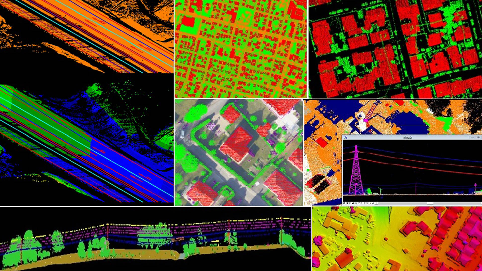
We form dedicated, trusted partnerships with our customers, helping them get the most out of our data and solutions. We pride ourselves on being the helping hand behind the scenes that enables our customers to push their projects further, faster.
See How We're DifferentWe know how to put our technology to work solving real project challenges. Instead of simply handing over tools, we take a hands-on approach — working alongside our clients from data capture through to final deliverable.
Learn More About Us
“Numtech provides unparalleled customer service. From the start, every person we spoke with cared about our organization and our project. Numtech has taken a huge weight off our shoulders.”
“The Numtech team have been a dream to work with compared to other vendors. They are responsive, thorough, and agile in standing up new projects or reconfiguring existing ones. An all-around great team.”